About Sawtelle Peak
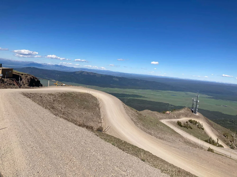
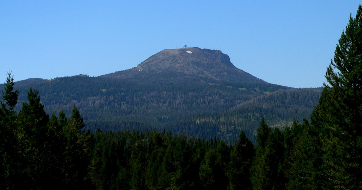
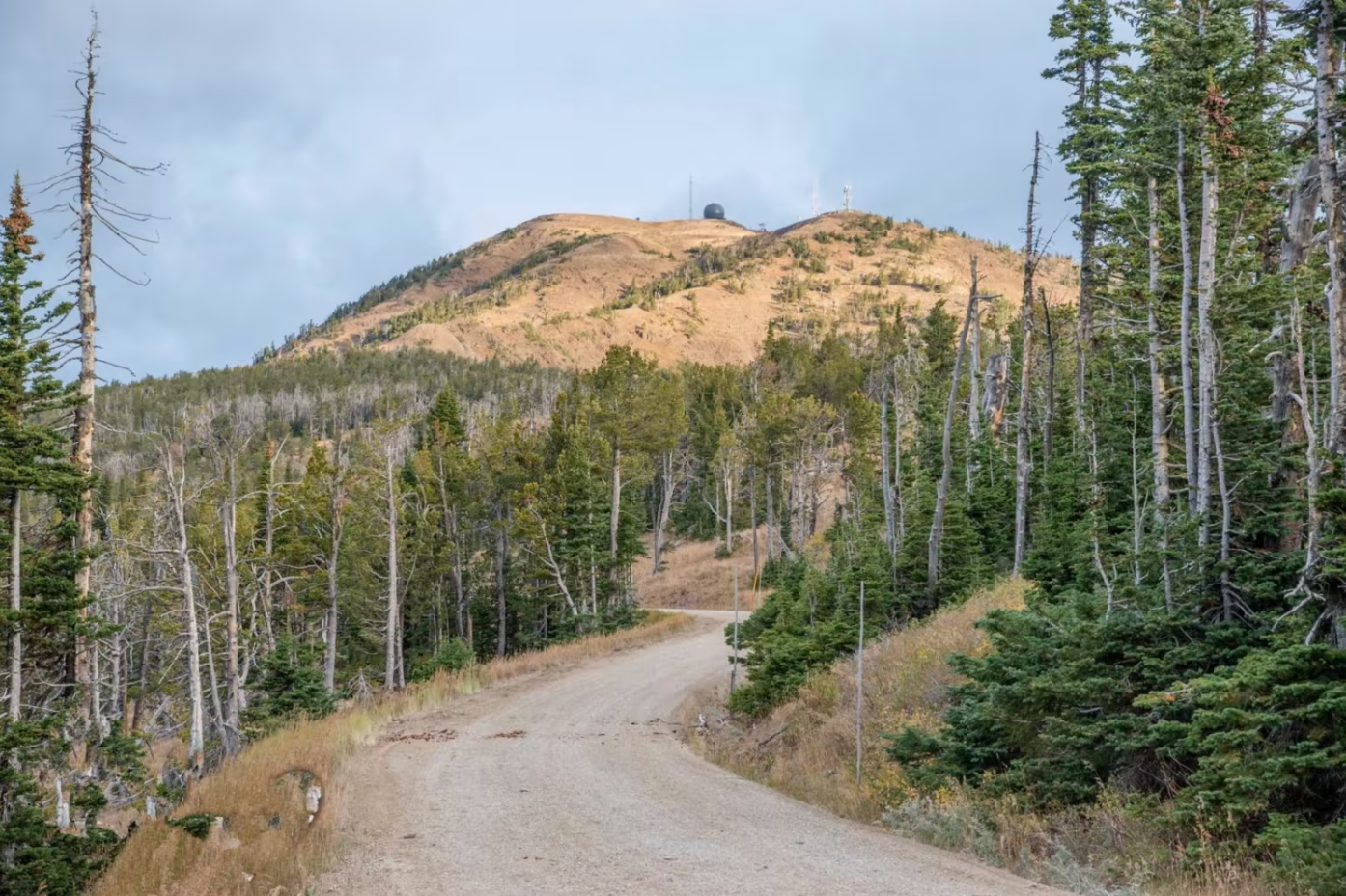
Sawtell Peak is a mountain in the Rocky Mountains. It is known for its elevation and scenic views. The Sawtell Peak Scenic Drive is a short, twelve-mile route that climbs to the top of the 9875-foot summit of Sawtell Peak. The route follows a well-conditioned gravel road, called Sawtell Peak Road, between the town of Island Park, Idaho, and Sawtell Summit.
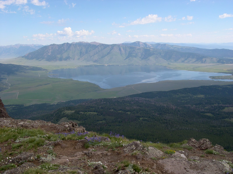
From the summit, the views of the surrounding area are magnificent. From the top, the visitor gets superb views of Yellowstone National Park, the Centennial Valley in Montana, Henrys Lake in Idaho and the Madison Valley in Montana. The Grand Tetons in Wyoming and the Pioneer Mountains in Montana are also visible way off in the distance.
From Island Park, the route heads to the northwest, passing by some summer homes on the flat section of the drive. After a few miles, the road enters the national forest and begins a steep climb toward the summit of Sawtell Peak, gaining more than 3000 feet of elevation.
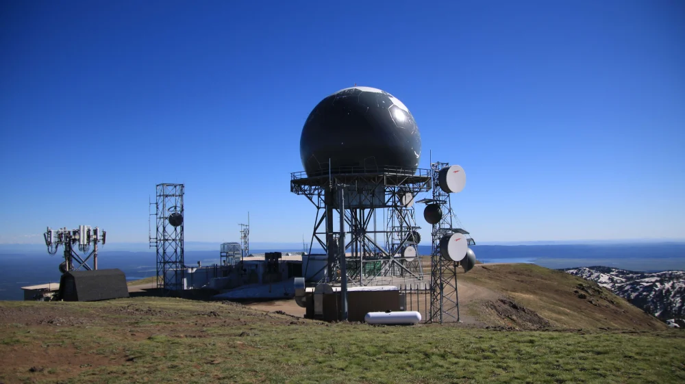
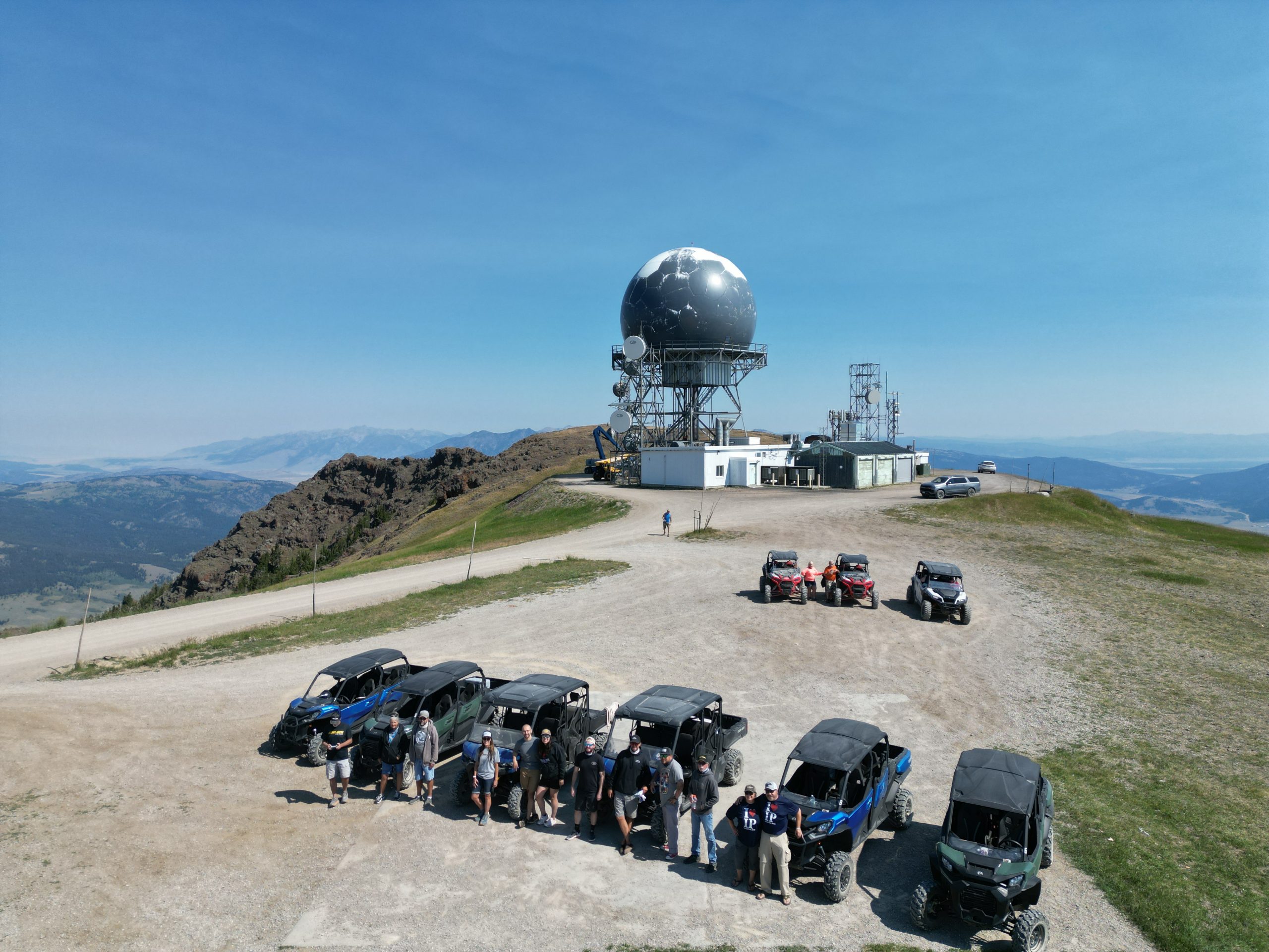
The reason there is such a well-conditioned road up to the top of a lonely mountain is because the FAA operates a flight traffic control radar station from the summit. The area right around the radar station is fenced and not open to visitors.

